
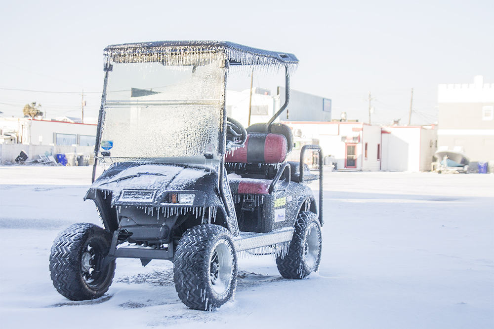
SOUTHEAST N.C. — With recent highs in the 70s it might be easy to forget that we are actually in the middle of winter — and that means there is still a chance for some winter weather.
Rain is in the forecast for the Cape Fear Region starting Wednesday and possibly turning into something a little bit cooler Thursday night into Friday. The National Weather Service is calling for a chance of snow, but before you head to the stores to stock up on milk and bread, take a look at what the forecast is actually predicting.
“Rain will mix with and change to snow before ending early Fri. Little to no snow accumulation is expected. Still, some uncertainty remains with and when the changeover to snow and how much accumulation due to the disagreement amongst the various and latest Model guidance. As temperatures drop to and below the freezing mark Thu night into Fri, roadways, especially bridges and overpasses, may become ice-covered,” according to the National Weather Service.
With low temperatures around 31 degrees on Thursday night and a 90% chance for precipitation, the National Weather Service is predicting a ‘wintery mix’ falling Thursday night. On Friday, the forecast calls for some possible snow.
“Snow before 10 a.m., then a slight chance of rain between 10 a.m and 1 p.m. High near 41. North wind 15 to 18 mph, with gusts as high as 30 mph. Chance of precipitation is 80%. New precipitation amounts of less than a tenth of an inch possible,” according to the forecast.
As with anytime the temperature drops below 32 degrees, the chance of frozen pipes becomes a reality so it is best to prepare for the cold. Be sure to bring in pets from the cold and protect your water lines as the mercury drops.