
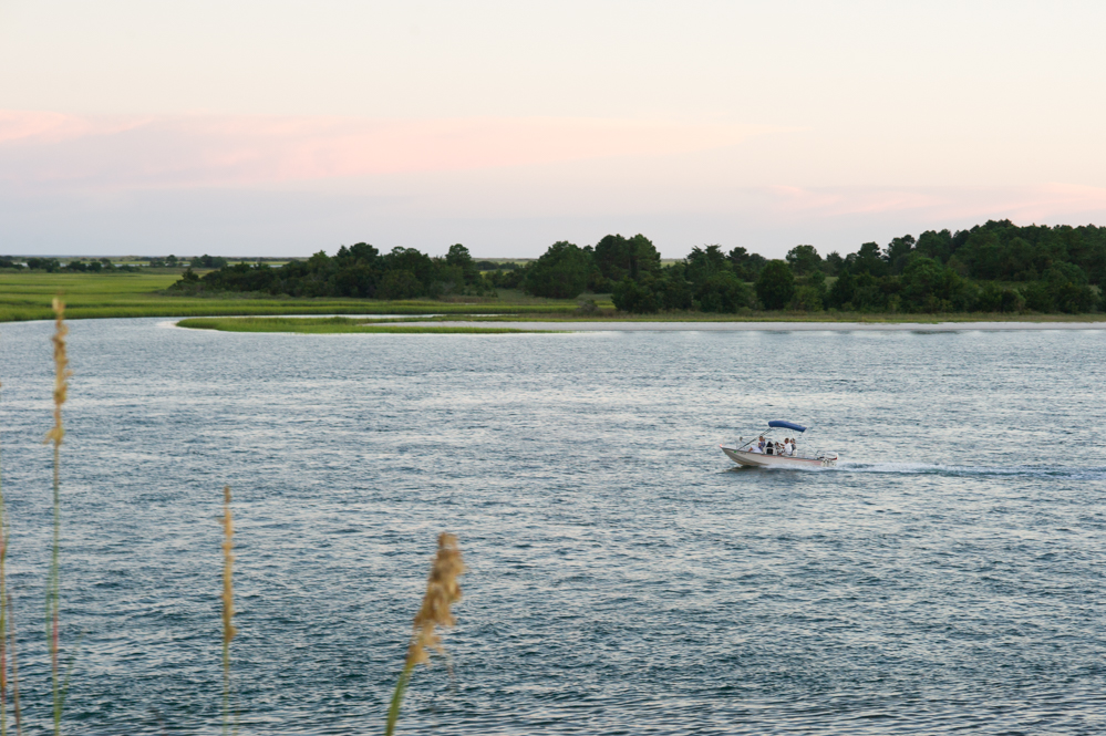
COASTAL, N.C. — Building on the shifting — yet valuable — sands near North Carolina’s ocean inlets is a business bound by rules that mostly haven’t changed in 38 years.
Last month, the Coastal Resources Commission approved new Inlet Hazard Area maps and proposed rule updates, marking the furthest step taken towards new regulations since 1981. The rules aren’t yet live, but soon, they could be.
Related: No Love Lost: First anniversary of legal battle between Carolina Beach and Freeman Park owners
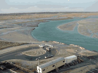
Inlet Hazard Areas (IHAs) define specific stretches of land prone to erosion (think — Freeman Park, Lockwoods Folly, Masonboro Inlet). These areas are bound by an additional set of regulations designed to limit structural damage and development near erosion-prone inlets on the coast.
Besides local zoning and building codes, regulations tied to IHAs could prevent, say, a big hotel from being built next to an ever-changing inlet. Proposed rules paired with the new maps include a grandfather clause. This means, for example, Shell Island Resort on Wrightsville Beach won’t have to come into compliance if the rules become law. Still, the nine-story resort couldn’t be constructed in 2019 under the new rules.
Cape Fear region
Nearly all of the state’s Inlet Hazard Areas (IHA) — 95 percent — are located in the Cape Fear Region. This includes 2,772 acres between Brunswick, New Hanover, and Pender counties.
New maps would add 1,066 acres to the region’s IHAs. This marks about a 50-percent net increase. However, Tubbs Inlet at Sunset Beach and Ocean Isle, Mason Inlet at Wrightsville Beach and Figure Eight, and New Topsail Inlet at Lea-Hutaff Island would all have less IHA-regulated acreage under the new maps. Collectively, those inlets would shave off 471 acres (view each inlet’s proposed IHA at the end of this article).
Regulations governing IHAs are still based on statistical methods used in a 1978 study, according to CRC’s February memo. “And nothing’s changed since,” Greg “Rudi” Rudolph, CRC’s chair, said. “It’s 30-40 years ago, we were using pencil and paper. Now everything’s GIS.”
Updating IHA maps has taken the Coastal Resources Commission (CRC) at least 20 years to figure out. In 1998, the Science Panel told the CRC the maps were outdated. The Commission came close in 2010, according to Mike Lopazanski, Division of Coastal Management policy and planning section chief who oversees the Science Panel. But, since maps were presented without paired regulatory changes, the implications — or lack thereof — spooked the commission.
“That effort didn’t go very far. The commission hadn’t discussed the use standards for those areas,” Lopazanski said. “New maps always make people nervous.”
Maps this time, tweaked a bit from the 2010 round, are based on an updated methodology. Not all inlets behave the same, Lopazanski said. The Science Panel’s IHA Boundary 2019 update logged decades of shorelines and vegetation lines, tracking the movement of the coast’s inlets. IHA’s current boundaries only consider an inlet’s migration. Migration, meaning, an inlet’s movement over time. For example, New Topsail Inlet moves southward about 90 feet per year, the report found, and Mason Inlet was moving at over a football field per year before its relocation and stabilization.
The Science Panel’s new methodology incorporates inlet migration, plus oscillation. In 2013-2014, Tubbs Inlet between Sunset Beach and Ocean Isle Beach widened by over three football fields. Ever since, the inlet has narrowed, and is likely to return to its previous width, according to the study.

New standards
Current IHA regulations, authorized by 15A NCAC 07H .0310, include limiting density, setbacks and the size of permitted residential structures and preserving public access. Updates — including a grandfather clause — would simplify the 5,000 heated square foot total floor area size limit to apply to all structures in the IHA. Setbacks would be calculated based on shoreline change rates inside the IHA, according to the CRC report. And density requirements for permanent structures — at no more than one per 15,000 square feet of land — will remain the same for land platted after 1984.
“These rules recognize that the erosion hazard is somewhat different from what you would normally find along the oceanfront,” Lopazanski said.
Late last month, the CRC approved the Science Panel’s IHA update boundaries and associated rule changes. Now, the Division of Coastal Management is tasked with presented a fiscal analysis, as required with all rule changes, pending CRC’s approval. Then, after a series of public hearings set to be held in six of the state’s eight oceanfront counties, the CRC could finalize the maps this fall. The associated regulatory changes must pass through the General Assembly’s Rules Review Commission, before becoming law. According to Rudolph, it’s the closest the Commission has come to a real change since the 80s.
Read the Science Panel’s full report, approved by the CRC on Feb. 27.
View all proposed IHA boundary changes, including the total addition of over 1,000 acres and the removal of nearly 500 acres in the Cape Fear region:
IHA proposed changes by Johanna Ferebee on Scribd
Send tips and comments to Johanna Ferebee at [email protected]