
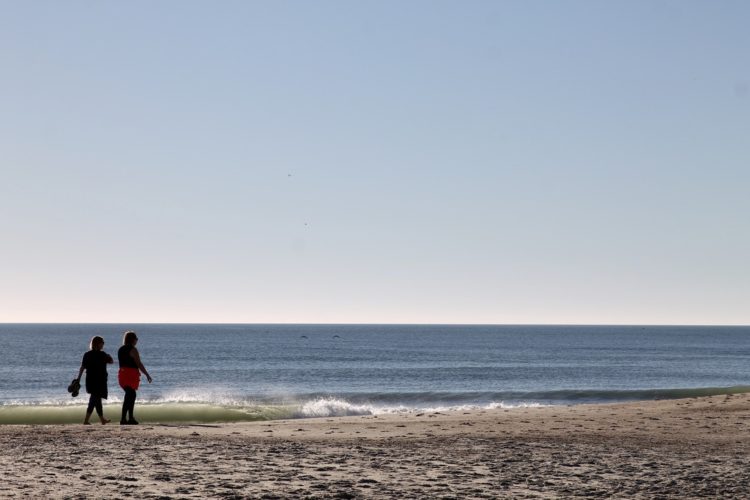
SOUTHEASTERN N.C. — Though Hurricane Erin is not expected to reach landfall, the downgraded storm will bring dangerous marine conditions up the East Coast this week. It will include rising swells, strong rip currents, above-average tides, and storm surges. As such area beaches in the tri-county region continue to issue no-swim advisories.
READ MORE: Hurricane Erin: Strong surf, rip currents expected along East Coast this week
Carolina Beach Ocean Rescue alerted the public to stay out of the water from Tuesday, Aug. 19 until Saturday, Aug. 23.
“Hurricanes off the coast still pose a threat and can create dangerous swimming conditions,” according to the ocean rescue.
This came on the heels of another New Hanover County beach town, Wrightsville, issuing a no-swim advisory in effect Tuesday, Aug. 19 through Friday, Aug. 22. The advisory was put forth after more than 50 rescues were executed Monday.
Advisories also went into effect in Brunswick County beach towns, including Bald Head Island and Ocean Isle Beach.
“Officials are hopeful swimming can safely resume this weekend,” according to Town of Ocean Isle.
In nearby Oak Island, red flags are flying to advise against swimming — the same for the Town of Surf City in Pender County.
Hurricane Erin has fallen from a Cat 4 on Monday to a Cat 2 as of Tuesday, 2 p.m., with maximum sustained winds of 105 miles per hour that can reach 230 miles from the center. Though she’s expected to gain strength and size in the upcoming 48 hours as the hurricane turns north.
The storm is moving north-northwest at 10 mph, with its center roughly 655 miles south-southeast of Cape Hatteras, North Carolina. The Outer Banks issued mandatory evacuations due to the potential of 20-foot waves and rising storm surge that could flood the barrier islands. The worst of the conditions along the Carolina coast are expected late Wednesday into Thursday.
Locally in the Cape Fear, waves could reach from 6 to 10 feet, with flooding also anticipated in low-lying areas and coastal towns particularly at high tide.
Governor Stein declared a state of emergency in North Carolina to help mobilize resources as needed. He will hold a press conference at 10:15 a.m. on Wednesday, Aug. 20, and encourages everyone located in coastal regions that could potentially be affected by the storm to make preparations.
Want to read more from PCD? Subscribe now and then sign up for our morning newsletter, Wilmington Wire, and get the headlines delivered to your inbox every morning.