
NEW HANOVER COUNTY — Hurricane Idalia, now downgraded to tropical storm after hitting the Florida panhandle as a Category 3 Wednesday morning, is expected to approach New Hanover County and area beaches by Thursday morning.
READ MORE: Closures, delays, cancellations due to tropical storm warning in effect
According to New Hanover County Emergency Management Director Steven Still, it will graze the NHC shoreline — including Carolina, Kure and Wrightsville beaches — roughly 15 miles off the coast between 5 a.m. and 9 a.m.
Still said on a call with the media Wednesday afternoon its heaviest impact may be felt around 7 a.m. or 7:30 a.m. — “first thing in the morning as our commute is kicking off.” He advised all area residents to stay off the roads.
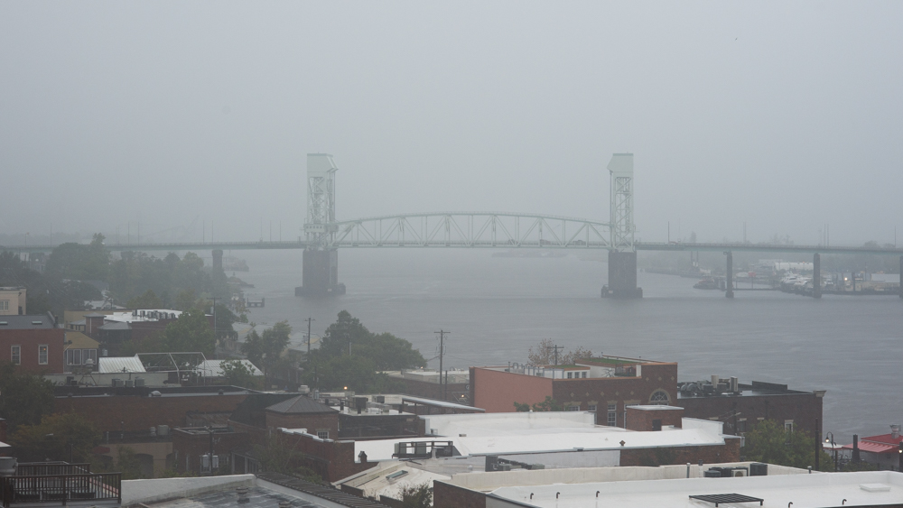
Winds and rain already began Wednesday evening from outer bands and will be moderate, sustained at 34 miles per hour and with peak gusts 40 miles or more per hour. The area is under a tornado watch until 10 p.m. on Wednesday, according to the National Weather Service, and a flood watch until 8 p.m. on Thursday.
“Thankfully, we’re not going to see that heavy bulk Florida saw,” Still added. “We’re not looking at catastrophic power outages.”
Isolated instances can be anticipated.
There is an enhanced tornado risk, Still said, a level three out of five — meaning tornadoes could be an EF2 or higher: “So that’s really our concern right now.”
He expects minimal damage from loose debris and downed trees when compared to larger weather events. For instance, 2018’s Hurricane Florence landed in the area as a Category 1 and lingered for days, dropping 26 inches of rain in Wilmington, triggering dangerous flooding and soaking the ground to contribute to tree loss when combined with winds. The storm cost North Carolina roughly $16.7 billion in damages.
“It’s been a bit removed,” Still said of the time lapse since. “Sometimes, we have that amnesia after major events. … But these low-level events are a great opportunity for our residents to be reminded of the hazards that we have here on the coast, to make sure that you have a plan in place if this were to be a much larger event — that you have a kit if you need one, medicine, all the items that you need to sustain yourself and your family for a period of time, and then also know where where to go to get information.
The tropical storm will bring squalls of rain, with accumulation of 4 inches anticipated for New Hanover, according to Still. The National Weather Service reports there has been 2.3 inches over the last three weeks, around 41% of what’s normal this time of year.
The Cape Fear is under a flood watch as of 2 p.m. Wednesday, to last through 8 p.m. Thursday, according to NWS. Flash flooding due to excessive rainfall is possible. Storm surge is expected to be greater than 1 foot above ground level in the area, with moderate tidal flooding possible.
Wednesday is also a full moon, so high tides at 7:30 p.m. Wednesday and 8 a.m. Thursday could be a concern.
“It’s been a while here since we’ve had beach renourishment on our beach strand, particularly Wrightsville Beach,” Still said. “We may see waves go through some isolated areas in the dunes and [water] cross into the roads.”
He also noted normal pockets of flooding — downtown, the Battleship, Highway 421 or places without well-maintained drainage systems — will experience standing water.
“It can be troublesome,” he said. “You don’t know how deep they are, you don’t know how well your car is going to react to that. So try to stay out of flooded areas.”
More so, Still pressed upon beachgoers to stay out of the water upon Idalia’s arrival. And those who head to the water this Labor Day weekend — a busy time for the area — should understand rocky marine conditions, such as increased rip currents, could linger, even after Idalia passes by Thursday evening.
“Non-experienced swimmers: We urge you to, for one, watch out for your children,” he said. “Make sure they don’t get out of a grasp or into an area of heavy surf. … During our high tides, that’s certainly when the water is going to be deeper, you’re gonna have more ramp-up and the opportunity to get swept off your feet.”
A surfer as well, Still warned sport enthusiasts who are unsure of their skill level to not risk riding a wave.
“Don’t be one of the individuals that are going to have to get rescued by our guys and girls on the beach,” he said.
Carolina Beach will have its lifeguards back on the sand this weekend, according to the town’s ocean rescue chief, Shawn Kelly.
“We will be operating at reduced numbers with about five guards Friday and about 10 guards for Saturday and Sunday,” he wrote to PCD in an email.
Wrightsville Beach Town Manager Tim Owens also confirmed lifeguards, “to some degree of staffing,” will be keeping watch along its shoreline.
New Hanover County Emergency Operations — which also works with the City of Wilmington and other community partners — is in partial activation. This means select staff is brought in to handle emergency situations, which includes crews sent out to assess damage from storms and help clear roadways.
“We don’t want to call the full cavalry for something of this magnitude; this is not like Florence for us,” Still said.
He also added: “Our thoughts are with the citizens of Florida and Georgia, as we watch Idalia traverse across the state line, and make its way toward our region.”
Gov. Roy Cooper, who declared a state of emergency earlier this week, also held a press conference Wednesday. The governor said he had spoken with President Joe Biden to coordinate on the federal level, should it be needed.
“We’re hoping for the best, preparing for the worst,” Cooper said.
The North Carolina Emergency Operations Center is monitoring the storm, and the National Guard and water rescue teams have been authorized to deploy.
Have tips or comments? Email info@localdailymedia.com
Want to read more from PCD? Subscribe now and then sign up for our morning newsletter, Wilmington Wire, and get the headlines delivered to your inbox every morning.